Ancient China's geography is very strange on the North West of China it is predominantly Desert. In the South East of China it is mainly Mountains including the Himalayas. And dividing the Desert and the Mountains there are three main rivers: The Yellow River, The Yangtzi River and the Wei River. These three rivers were where the earliest settlements of China started. Along the Wei river there were six major settlements: they were Anyang, Erlitou, Luoyang, Chang'an, Xianyang, and Hao. These settlements were where there was enough fresh water to survive, and soil that enabled them to grow crops. These settlements were some of the first civilisations.
The Yellow River is also known as "China's Sorrow" because of the terrible floods that have occurred throughout history when it's banks over flowed with water.
The Taklamakan Desert has the nick name "Sea of Death" because of it's extreme temperatures and poisonous snakes.
Today the Three Gorges Dam on the Yangtzee River serves as the worlds largest hydro-electric power sour
Much of the Silk Road traveled along the deserts to the North and West.
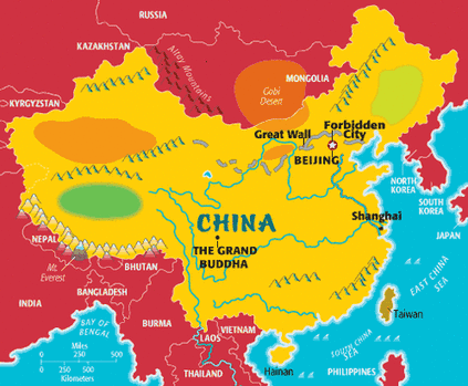
This map is of Ancient China on the map it shows that the rivers run between the mountains and deserts.
The Yellow River is also known as "China's Sorrow" because of the terrible floods that have occurred throughout history when it's banks over flowed with water.
The Taklamakan Desert has the nick name "Sea of Death" because of it's extreme temperatures and poisonous snakes.
Today the Three Gorges Dam on the Yangtzee River serves as the worlds largest hydro-electric power sour
Much of the Silk Road traveled along the deserts to the North and West.
This map is of Ancient China on the map it shows that the rivers run between the mountains and deserts.